Donner Lake Rim Trail

Donner Lake Rim Trail

About Us

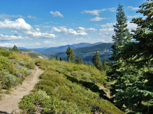
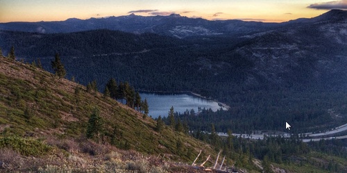
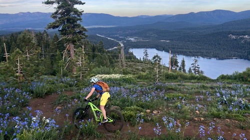
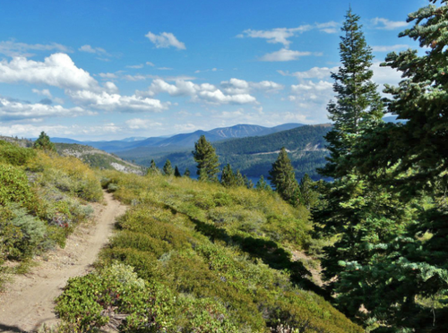
A gorgeous trail from start to finish, the DLRT offers amazing views of the the peaks making up Donner Pass and, of course, it’s namesake, majestic Donner Lake. From Castle Valley Rd just right off of the Boreal exit (I80) proceed on the gravel double track trail beyond the obvious green forest service gate, continue ahead past a trail map kiosk, look for the DLRT sign post on your right indicating the start of the trail. This trail is well manicured, beautiful and has a number of distance options with multiple access points.

Donner Lake Rim Trail is a project of the Truckee Donner Land Trust. They are working with help from volunteers to connect trails from downtown Truckee to Donner Summit and with other existing trails, including the Pacific Crest Trail (PCT), Warren Lake Trail, Summit Lake Trail, the Hole-in-the-Ground Trail, and the trails leading into the proposed Castle Peak Wilderness.

Most of the open segment of the trail was built by the Land Trust and volunteers and with the help of other partners such as the US Forest Service, Tahoe Donner, the Truckee Trails Foundation, California State Parks and the California Conservation Corps.


Distance: currently about 7.7 miles completed, plans for 23 miles of trail
Elevation: about 800 feet of climbing when hiking from Castle Valley Road to Wendin Way
Trailhead: Castle Valley Rd off of the Boreal exit; Wendin Way Trail off of West Donner Lake exit, or Glacier Way Trailhead in Tahoe Donner

Highlights

  • Mileage: Currently 15 miles one way
  • Level: Moderate to Difficult
  • Usage: Moderate
  • Access: Tahoe Donner Trailhead on Glacier Way*
  • Map and more details

Images

Gallery Image DonnerLakeRim.jpg
Gallery Image donner%20lake%20rim%20trail.jpg
Gallery Image donner%20lake%20rim%20trail-1.png